The Open Access Publisher and Free Library
01-crime.jpg

CRIME

CRIME-VIOLENT & NON-VIOLENT-FINANCLIAL-CYBER

Posts tagged crime and place
Offline crime bounces back to pre-COVID levels, cyber stays high: interrupted time-series analysis in Northern Ireland

By David Buil-Gil, Yongyu Zeng and Steven Kemp

Much research has shown that the first lockdowns imposed in response to the COVID-19 pandemic were associated with changes in routine activities and, therefore, changes in crime. While several types of violent and property crime decreased immediately after the first lockdown, online crime rates increased. Nevertheless, little research has explored the relationship between multiple lockdowns and crime in the mid-term. Furthermore, few studies have analysed potentially contrasting trends in offline and online crimes using the same dataset. To fill these gaps in research, the present article employs interrupted time-series analysis to examine the effects on offline and online crime of the three lockdown orders implemented in Northern Ireland. We analyse crime data recorded by the police between April 2015 and May 2021. Results show that many types of traditional offline crime decreased after the lockdowns but that they subsequently bounced back to pre-pandemic levels. In contrast, results appear to indicate that cyber-enabled fraud and cyber-dependent crime rose alongside lockdown-induced changes in online habits and remained higher than before COVID-19. It is likely that the pandemic accelerated the long-term upward trend in online crime. We also find that lockdowns with stay-at-home orders had a clearer impact on crime than those without. Our results contribute to understanding how responses to pandemics can influence crime trends in the mid-term as well as helping identify the potential long-term effects of the pandemic on crime, which can strengthen the evidence base for policy and practice.

Crime Science 2021 10:26

A multilevel examination of the association between COVID-19 restrictions and residence-to-crime distance

By Theodore S. Lentz, Rebecca Headley Konkel, Hailey Gallagher and Dominick Ratkowski

Restrictions resulting from the COVID-19 pandemic interrupted people’s daily routine activities. Rooted in crime pattern and routine activity theories, this study tests whether the enactment of a Safer-at-Home mandate was associated with changes in the distance between individuals’ home addresses and the locations of where they committed crimes (i.e., residence-to-crime distance). Analyses are based on violent (N=282), property (N=1552), and disorder crimes (N=1092) reported to one police department located in a United States’ Midwest suburb. Multilevel models show that residence-to-crime distances were significantly shorter during the Safer-at-Home order, compared to the pre- and post-Safer-at-Home timeframes, while controlling for individual and neighborhood characteristics. Additionally, these relationships varied by crime type. Consistent with the literature, the findings support the argument that individuals tend to offend relatively near their home address. The current findings extend the state of the literature by highlighting how disruptions to daily routine activities stemming from the COVID-19 pandemic led to alterations in crime patterns, in which analyses indicated shorter distances between home address and offense locations.

Crime Science 2022 11:12

Mapping crime – Hate crimes and hate groups in the USA: A spatial analysis with gridded data

By Michael Jendrykea, , Stephen C. McClure

From time to time the popular media draws attention to hate crimes and hate groups, evoking images of NaziGermany and the rise of fascism. The geographic association between hate groups and hate crimes is uncertain. In this research we ask whether hate crimes are co-located and correlated to the presence of hate groups to explore a potential association between these two phenomena. Publicly available point level data on hate crimes and hate groups collected by the Southern Poverty Law Center (SPLC) were aggregated to unitary framework of hexagonal grid cells of a Discrete Global Grid System (DGGS) at multiple scales for consistent analysis. We explore the effects of proximity by interpreting a co-location map, deploying a Geographically Weighted Regression (GWR) for count data, and apply a Spatial Lag Model (SLM) at multiple scales, to ascertain the effects of the size of the aggregation units on the relationship between hate groups and hate crimes. Controlled or uncontrolled for spatial dependence, at all scales, the Spatial Lag Model (SLM) shows that an average of 39.5% of the hate crimes was correlated with hate groups. These results are consistent with the existing research but show that in most instances spatial dependence was present, regardless of the size of the aggregation unit or the distance to neighboring cells. Our future research will consider additional racial, economic and social variables using a DGGS.

Applied Geography. Volume 111, October 2019, 102072

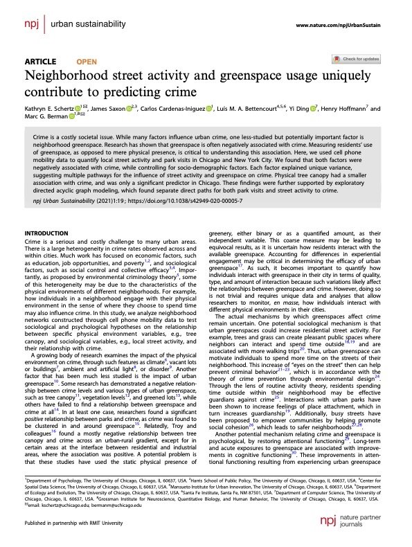
Neighborhood street activity and greenspace usage uniquely contribute to predicting crime

By Kathryn E. Schertz, James Saxon, Carlos Cardenas-Iniguez, Luís M. A. Bettencourt, Yi Ding, Henry Hoffmann & Marc G. Berman

Crime is a costly societal issue. While many factors influence urban crime, one less-studied but potentially important factor is neighborhood greenspace. Research has shown that greenspace is often negatively associated with crime. Measuring residents’ use of greenspace, as opposed to mere physical presence, is critical to understanding this association. Here, we used cell phone mobility data to quantify local street activity and park visits in Chicago and New York City. We found that both factors were negatively associated with crime, while controlling for socio-demographic factors. Each factor explained unique variance, suggesting multiple pathways for the influence of street activity and greenspace on crime. Physical tree canopy had a smaller association with crime, and was only a significant predictor in Chicago. These findings were further supported by exploratory directed acyclic graph modeling, which found separate direct paths for both park visits and street activity to crime.

Urban Sustainability (2021) 1-19.

A Walk in the Park: A Spatial Analysis of Crime and Portland Parks

By Cheyenne Pamela Hodgen

This thesis presents two individual research papers that examine the relationship between greenspaces and crime in Portland, Oregon. The two papers use an adapted street network buffer to better measure crime concentration around discrete locations. This methodological development allows for an improved measure of crime concentration around discrete locations. The first contribution, presented in Chapter 2, explores the relationship between different greenspace types and crime, breaking down different crime types into discrete categories. The results of this study suggest that overall, Portland greenspaces do not experience a concentration of crime, however, different patterns emerge as greenspace and crime types are disaggregated. Only one greenspace type, small parks, appear to be important local features—experiencing a high concentration of crime—while other types experienced a concentration of a few crime types, or none at all. Building off of these results, the second contribution—Chapter 3—examines the relationship between small parks and crime in more detail, looking at the level of crime concentration beyond the park, the presence of certain amenities, and the surrounding landuse zoning. A non-linear pattern in the level of crime concentration was found in the 3- block area around parks. Three park characteristics (statues/public art, water features/fountains, and plazas) were found to be associated with higher levels of crime at parks, while one characteristic (unpaved paths) and two activity generators (soccer fields and softball fields) were associated with lower levels of crime. The surrounding zoning also had an impact on crime at parks, with parks with exclusively or majority residential land use experiencing lower levels of crime.

Portland, OR: Portland State University 2023.

Where and When: A Profile of Armed Robbery by Location

By Georgina Fuller

In this paper, four armed robbery profiles have been constructed, based on information contained in qualitative police narratives supplied as part of the AIC’s National Armed Robbery Monitoring Program.

In 2010, approximately 5,000 individuals and organisations reported being the victim of armed robbery. After assault and sexual assault, armed robbery is the third most common violent crime reported; a trend that has remained consistent over the last 10 years (AIC 2013). However, armed robbery is unique when compared with other types of violence due to its overlap with property crime. Specifically, while armed robbery involves the use or threat of force or violence, the primary purpose is to deprive the individual or organisation of their property (Pink 2011). A such, an incident of armed robbery can have both immediate and long-term psychological and economic ramifications for the victim. Therefore, the prevention of armed robbery remains a key focus of business groups,as well as law enforcement agencies.

Previous profiles of armed robbery have almost exclusively focused on the offender. Research conducted in Australia and overseas has examined the characteristics and motivations of offenders in order to explain the variations in robbery (see Gabor et al. 1987; Matthews 2002; Mouzos & Borzycki 2003; Nugent et al. 1989; Walsh 1986). However, while such an approach has merits as an investigative tool, it is limited in its presentation of armed robbery more generally. Specifically, these profiles fail to appropriately capture the influence of the environment and the victim on the offender. It would therefore be useful, when looking to prospectively prevent crime, to broaden this focus and incorporate not just the offender but also vulnerabilities associated with particular victims and/or locations.

Canberra: Australian Institute of Criminology, 2014. 8p.

Space, Time, and Crime: Ethnographic Insights into Residential Burglary

By George Rengert and John Wasilchick

Residential burglar perceptions were classified into spatial and temporal components that form their routine activities in order to understand criminal activities from the criminal's point of view.

Burglar informants were selected from a large inner city (Philadelphia), a mid-sized city (Wilmington, Delaware), and suburban areas between these two cities. Each informant was asked to construct time diaries noting the time they awoke and what time they performed different activities for the following day. After the "next day" diary was kept, informants were asked to keep a similar diary for a future time that included a burglary. The process of searching for a burglary site has properties in common with the spatial search process involved in the real estate market. The objective of burglars' spatial search was to locate the best possible burglary site. Information sources used in burglaries included newspapers, friends and other contacts, jobs, and spatial research. Different burglars used different search strategies, and no urgency was involved in locating a crime site. As burglars searched for homes to burglarize, a sequence of homes was viewed, each with a set of attributes and locational factors. Once a successful burglary was committed, the information gained from the experience reinforced positive images the burglar had about a specific community. This made the same community more likely to be chosen for subsequent burglaries. The impact of residential burglary on the urban infrastructure is discussed, and time is viewed as an important concept in defining opportunities for crime in terms of spatial accessibility.

Philadelphia: Temple University, Department of Criminal Justice, 1988. 187p.