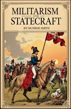
By Munroe Smith. Introduction by Colin Heston.
When Munroe Smith, the American jurist and scholar of comparative constitutional law, published Militarism and Statecraft in the early twentieth century, the world stood at a threshold. The balance of power in Europe was faltering, national ambitions clashed violently with the ideals of peace and progress, and the question of whether nations could master the destructive temptations of militarism was no longer abstract. It was a pressing reality. Smith’s concern was not simply with armies and weapons, but with the deeper political psychology that drives nations toward war. He sought to expose how the logic of militarism—discipline, hierarchy, and force—could infiltrate civil government, undermining the very statecraft that was supposed to serve reason, justice, and stability.
At the time of its writing, Smith was addressing the dangers of an era when Prussian militarism, the rivalries of empires, and the failure of diplomacy threatened the international order. His work can be read as both analysis and warning: a sober reflection on how the pursuit of military superiority can distort the priorities of states, drawing them away from long-term peace toward short-term domination. For Smith, the central challenge was not only to prepare adequately for defense but also to ensure that the military ethos did not overwhelm civil society and political judgment.
The value of these reflections is not confined to Smith’s age. In 2025, more than a century later, the tension between militarism and statecraft persists, albeit in new forms. The end of the Cold War did not usher in an era of lasting peace, but rather revealed the fragility of international institutions and the persistence of rival nationalisms. Today, the global order is marked by renewed great-power competition, particularly between the United States and China, alongside Russia’s continuing assertiveness in Europe. The conflicts in Ukraine, the South China Sea, and the Middle East remind us that the balance of deterrence and diplomacy remains unstable.
Moreover, the rise of advanced technologies—autonomous weapons systems, cyberwarfare, artificial intelligence in military planning, and the militarization of outer space—has created new arenas where Smith’s questions echo with urgency. If he warned against the creeping influence of military logic on the political state, how much more should we be concerned when the logic of algorithms and machine efficiency begins to shape the most consequential decisions of war and peace? The issue is no longer only about armies marching across borders but about invisible lines of code and satellites in orbit—yet the fundamental danger is the same: that the tools of defense become ends in themselves, driving state policy rather than serving it.
Smith also recognized that militarism poses a danger to the vitality of democratic institutions. In times of insecurity, citizens may surrender too readily to centralized authority, trading liberties for promises of safety. In 2025, as societies grapple with disinformation campaigns, rising authoritarianism, and deep political polarization, Smith’s warning acquires a renewed resonance. The militarization of politics—whether through expanded security states, the rhetoric of perpetual conflict, or the invocation of national emergency—remains a challenge to civic freedom.
What Smith offers, therefore, is not a simple rejection of military power but a call for balance. Statecraft requires prudence, restraint, and a recognition of the limits of force. True security, he suggests, cannot rest on militarism alone, for unchecked military logic corrodes the very foundations of peace. In 2025, as nations navigate the double-edged sword of military innovation and the uncertainty of a multipolar world, his insights invite us to reflect on the perennial dilemma: how can we cultivate security without letting the instruments of war dominate our political imagination?
To read Militarism and Statecraft today is to encounter a voice from another century that speaks to our own. It reminds us that the dilemmas of power, security, and diplomacy are not new, even as the technologies and actors change. Smith’s work urges us to see beyond immediate crises and to measure the costs of militarism not only in battles fought, but in the subtle ways it reshapes our societies, our freedoms, and our possibilities for peace. If the twenty-first century is to avoid the mistakes of the twentieth, it will be by heeding the balance that Smith demanded: a statecraft that governs militarism, rather than a militarism that governs the state.
Read-Me.Org Inc. New York-Philadelphia-Australia. 2025. 151p.


